Actual Miles Driven Today - 195
Sorry No Blog yesterday due to being in the back end of nowhere. No TV, No Vodafone and No Internet.
This was the day I was dreading most on the whole journey - why? Unknown territory, few fuel stations, miles from anywhere.
What a Silly Billy I would Prove to Be
I left the Norseman Hotel, after giving Mog its daily wash, and loading the cases, to find a Petrol Station.
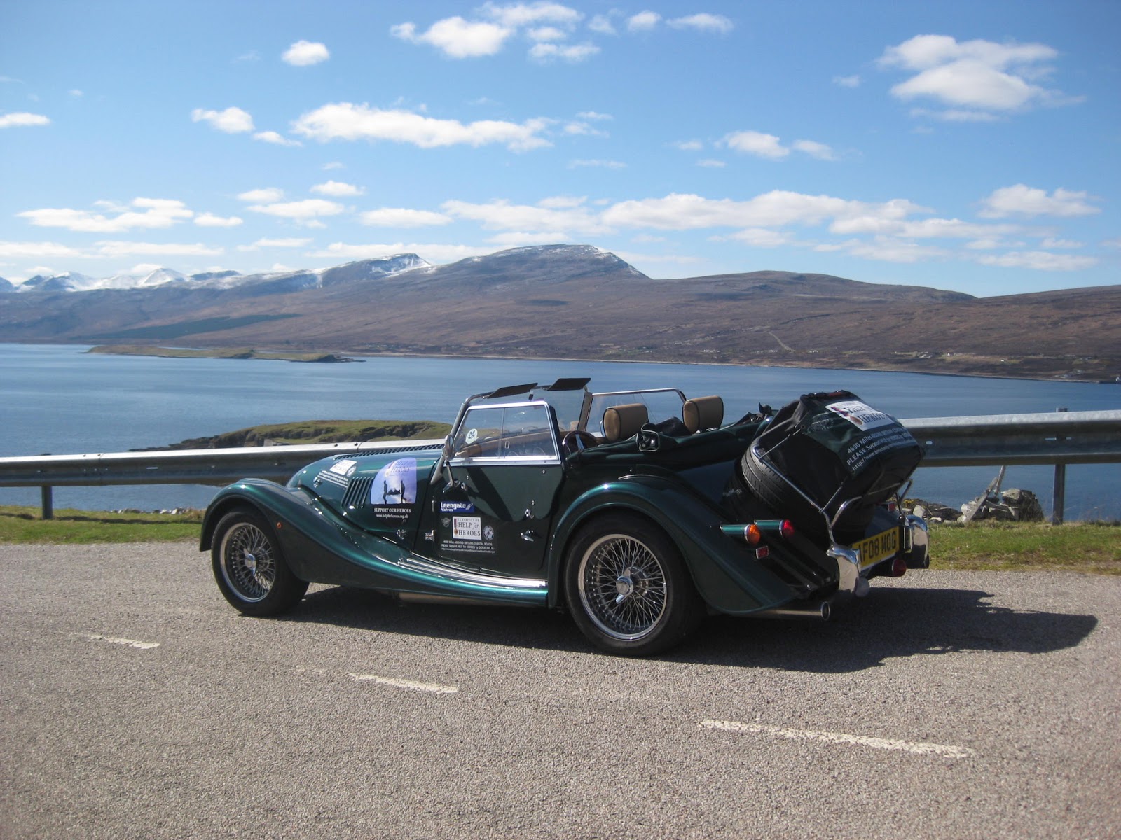
Mog in the Car Park at the Norseman Hotel, Wick.
Mog in the Car Park at the Norseman Hotel, Wick.
 |
At the Tesco Garage in Wick I filled my tank to the brim. I also filled my new 10ltr fuel can, purchased for the purpose of todays remote journey.
As I struggled to fit the can back into the heavy plastic protector bag I was using to contain any possible seepage, a Police Van pulled in along side me at the next pump.
The first one out came straight to my rescue and helped me put the can in the bag and then into the foot-well of the car.
The three of us then discussed my journey and my purpose.
They gave me some useful information on places to visit along the way and, before they departed, said that I was about to get some of the best views of my life.
I almost forgot to pay!!!
 |
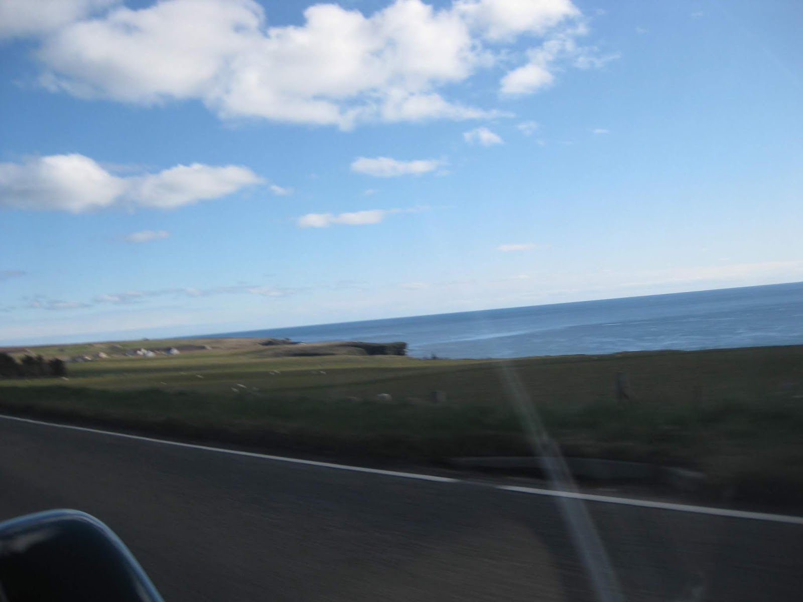
Running North, towards John o'Groats.

The road runs with sea views almost all of the way from Wick to John o'Groats.


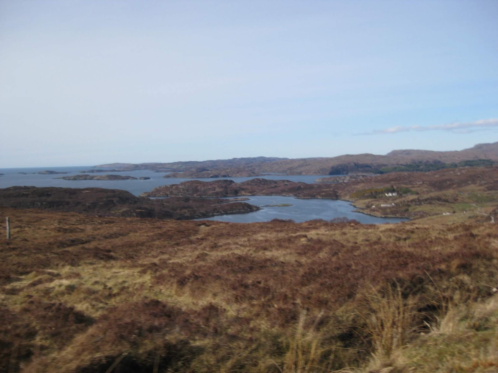
The Bay at Freswick


Ahead, at this point, we can see the Orkney Islands.

The road runs with sea views almost all of the way from Wick to John o'Groats.


The Bay at Freswick


Ahead, at this point, we can see the Orkney Islands.

So off I went into the unknown, heading for nearby John o'Groats.


My first stop was to park nearest to the Toilets.
Before setting off again, I would inspect the Boys Room where there is a charge of 20p to get in.
My coin jammed in the slot, however, on pressing the 'Return' button £1 came out so there was another quid for H4H.

I think that it was Graham Wright, of LE JOG fame, who hinted that John o'Groats was not the best place in the world.


My first stop was to park nearest to the Toilets.
Before setting off again, I would inspect the Boys Room where there is a charge of 20p to get in.
My coin jammed in the slot, however, on pressing the 'Return' button £1 came out so there was another quid for H4H.

| £17K had been spent to make this wreck look 'Attractive'. Apparently it cost that much just for this paint work. |
The hideous derelict graffiti covered Hotel summed up the place for me as 'tacky'.
But do not despair as the hotel has since been completely refurbished back to some sort of normality.
I think that it was Graham Wright, of LE JOG fame, who hinted that John o'Groats was not the best place in the world.
 |
The Information Office & Gift Shop, closed at the moment.
It is not only desolate but was deserted this morning, other than for two young men who had stayed in the Wick Hotel last night.
I introduced myself to Col Ord, on the left, and Elliott Walter.
It is not only desolate but was deserted this morning, other than for two young men who had stayed in the Wick Hotel last night.
I introduced myself to Col Ord, on the left, and Elliott Walter.

Their Original copy of 'Bradshaw's Railway Guide'
 |
They are both Railway workers and were on a Railway Tour of the UK using the copy of Bradshaw's Guide along the way.
They had to get a bus from Wick to John o'Groats and had only short time before they had to take the bus back to the Wick station again.
After taking photos we say our farewells.
 |
Left Background - The Pole with the Missing Signs.
 |
My next best option was to use this sign fixed to this wall. |
There was a discussion with the Tourist Office man, who turned up just as I was about to leave.
The famous John o'Groats Sign Post, that everyone wants to have their photo taken next to, was actually missing?
Well, the post was there but there were no direction boards attached to it?

Apparently, The Sign Post is owned by a business who also control the Post at Lands End as well.
The chap who manages it here, puts it away when he is not there because he makes a charge for each of the the photos taken.
Well, the post was there but there were no direction boards attached to it?

Apparently, The Sign Post is owned by a business who also control the Post at Lands End as well.
The chap who manages it here, puts it away when he is not there because he makes a charge for each of the the photos taken.
Typically he was missing when we needed him.
If you plan to make a visit then you should contact him first to arrange to have you own name on a board.
However, while updating this thread I found the following topic suggesting that the The Sign Post may be removed?:
http://www.scotlandnow.dailyrecord.co.uk/news/famous-john-ogroats-sign-post-5572578

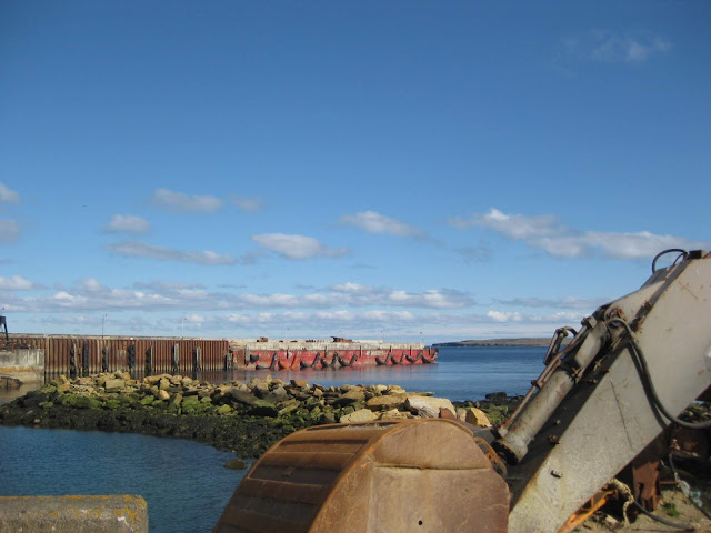
The Beach

The Harbour


I am now heading west for the best day of the whole trip so far.

If you plan to make a visit then you should contact him first to arrange to have you own name on a board.
However, while updating this thread I found the following topic suggesting that the The Sign Post may be removed?:
http://www.scotlandnow.dailyrecord.co.uk/news/famous-john-ogroats-sign-post-5572578

The Beach

The Harbour


I am now heading west for the best day of the whole trip so far.


Next stop was Gills Bay Ferry Terminal where Dennis & Sylvia O'Neil would soon be taking the ferry to Orkney.


Waiting for the next ferry.

Leaving the Ferry Port, I am now heading for Thurso.


Orkney is very clear from here.

I headed off towards the town of Thurso.
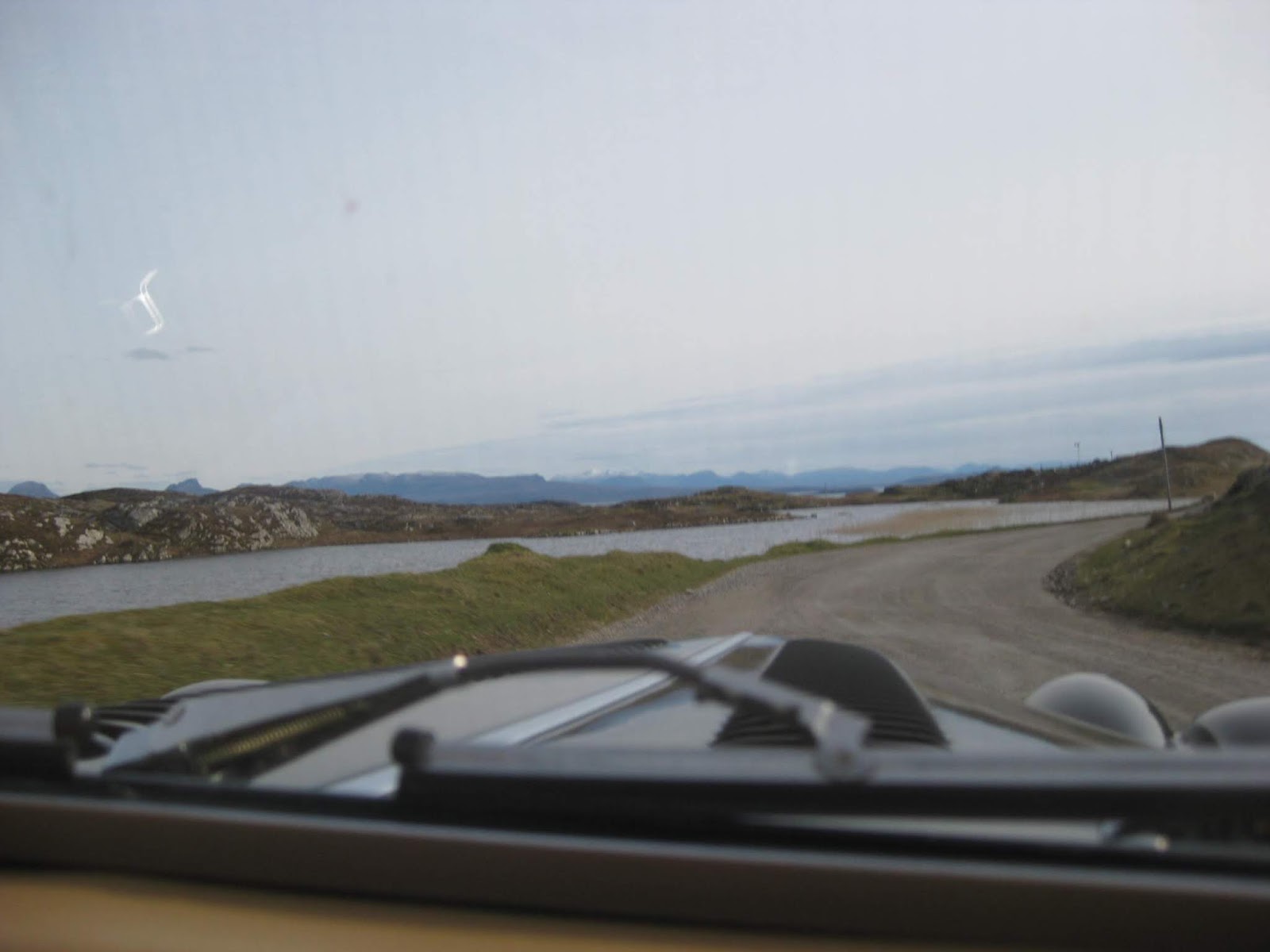
The road was empty of traffic already as most of the roads proved to be for all 195 miles to Inchnadamph.


Arriving at Thurso.


An Ornate Gate House to a coastal Castle.

Crossing the River Thurso into the town.

I stop for a while in a park alongside the bridge. A quick stop here for a photo of the riverside.


Waiting for the next ferry.


Leaving the Ferry Port, I am now heading for Thurso.


Orkney is very clear from here.

I headed off towards the town of Thurso.
The road was empty of traffic already as most of the roads proved to be for all 195 miles to Inchnadamph.


Arriving at Thurso.


An Ornate Gate House to a coastal Castle.

Crossing the River Thurso into the town.

I stop for a while in a park alongside the bridge. A quick stop here for a photo of the riverside.


Leaving Thurso, the road follows the coast again. Here, looking across the Bay towards Scrabster.


Ahead I can see something industrial.


I recognise that this must be a Nuclear Site.
It turns out that it is 'Dounreay' Nuclear Power Station and Research Facility.
For those of my age who may have seen it - It reminds me of the site used for the Dr Quatermass series of sci fi television tales back in the 1960's
Now off along the top of Scotland passing the Nuclear Power Station at Dounreay as I headed for what proved to be miles and miles of Highland Moorland.
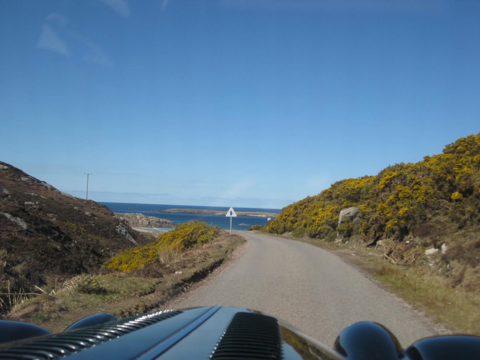
This is where I found myself in Driving Heaven. I have never had so much fun over smooth and undulating empty roads.
 |
The Photos can never relay to you the spectacular scenery. It has to be experienced to be believed.
My decision to travel Anti Clockwise is proving daily to be the best option as I have to look across the oncoming traffic to see the coast.


Off to my right is the small settlement of Reay.

My first view of some distant mountains.


Across this bay is the area called Portskerra.

I make a short stop in respect for the work of the Marie Curie Charity.

Marie Curie 'Field of Hope' located on the moors in this remote spot.


Approaching the village of Strathy


Strathy Church

Still not that much Habitation and what there is, is quite spread out.

If you need a Telephone? With no Vodafone cover these could come in handy.


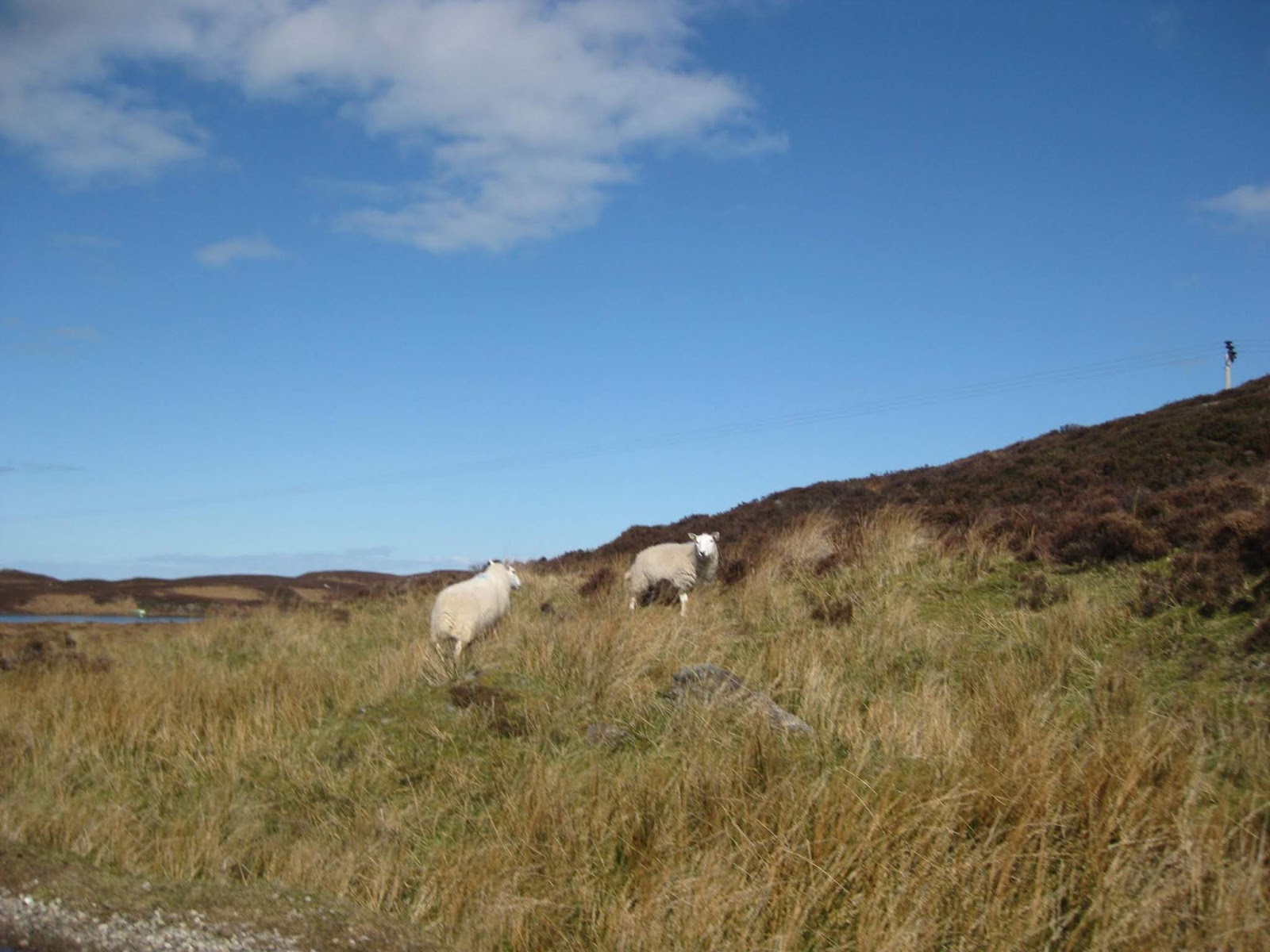
The sheep that roam the highlands.

The road winds around, and rises and falls providing more mysteries over the next brow.


Good Morning.
| 'A Cool Car', I think is what she said. |
All was not lost, my fan club was increasing, but in the wrong direction.

My first sight of Snow Capped Mountains


I make a stop in the lay by at the Betty Hill Viewpoint.

At the Viewpoint each of the mountain ahead have their names indicated on this stone plinth. The highest one is Ben Hope at 3010 feet.
Others from left to right are Ben Loyal, Arkle, Foinaven, Ban Tongue, The Watch Hill, Cranstactue and Bein Spoinnnidh


A remote Croft or Farmhouse.

Inland Loch Salachaidh
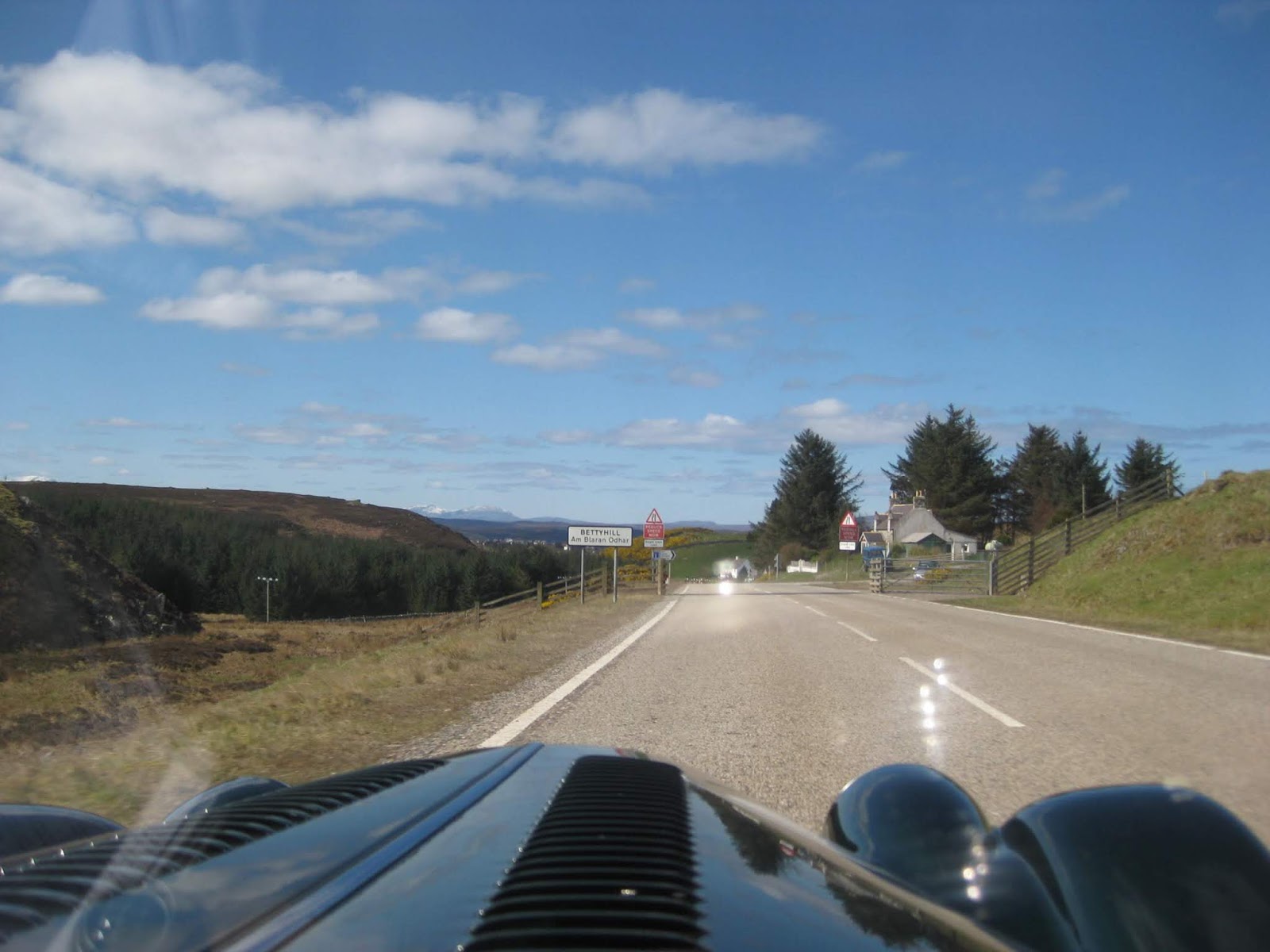
Ahead is the sign for Bettyhill and I now need to slow down for the rumble of my first Cattle-grid crossing
Heading through the settlement of Bettyhill
 |
  |
The road is leading on to the Borgie Forest.
My Day was turning out to be wonderful, like that of a Child who suddenly finds themselves in a Sweetie Shop.
The breathtaking beauty I was to experience made me emotional at times.
That Lump in the Throat feeling that I was alone and needing to share the experience.
That Lump in the Throat feeling that I was alone and needing to share the experience.

Immediately after Bettyhill is beautiful Torrisdale Bay - a Side Window shot.
 |
The road turns south here moving away from the coast for a while.
You only get a quick view as you turn inland so this is one of my 'open side window snaps.
You only get a quick view as you turn inland so this is one of my 'open side window snaps.
 |
The first sandy bay of the day is at Torrisdale just after Bettyhill.


This junction is where many travelers join my road from the B871 south when travelling through the centre of Scotland.
Interesting Roads that I have never used.


Passing some of the many inland small lochs.


Approaching Borgie.


This junction is where many travelers join my road from the B871 south when travelling through the centre of Scotland.
Interesting Roads that I have never used.


Passing some of the many inland small lochs.


Approaching Borgie.
I turned off into the Borgie Hotel for coffee.
Two miles up the lane I found the hotel, but could not find any people there so had to go back down the lane again.


The road then flows through Borge onto Coldbackie on the Kyle of Tongue.
Before getting there, another fan turned up. This goose was not moving for anyone and protested strongly.
His mate was in the grass to the left. The slowly approaching Mog eventually caused them both to take to the sky before circling onto a fresh water loch nearby.
More Fans stop and stare.

My next view of the sea comes as I approach Coldbackie.


The road suddenly reduces to single track with passing places.


Passing Lochan Dubh

The road takes a large sweep around this hill.


Entering the Coldbackie 30mph Speed Limit.


The view across the inlet to Talmine.


I just had to take a break here to take in the stunning view.

It is great that the Hood has been down all day so far.

Someone else had also stopped here to walk their little dog.

Back on the road again.

The View from Coldbackie

My Lunch Spot today.
Just before arriving at Tongue, and observing the sandy loch on the way, I pulled into a lovely Gift Shop with Cafe called Weavers, being an old weavers cottage.

Here I met the owners, who were originally from Devon.
Before moving here they used to own the West Loch Tarbert Hotel on the Kintyre peninsula, a hotel where I have enjoyed Herring in Oatmeal in the past.
I will pass there later on my trip as I head for The Mull of Kintyre.
Before moving here they used to own the West Loch Tarbert Hotel on the Kintyre peninsula, a hotel where I have enjoyed Herring in Oatmeal in the past.
I will pass there later on my trip as I head for The Mull of Kintyre.
I took a simple lunch of coffee and a freshly made delicious Toasty which I devoured while sitting outside in the glorious sunshine.

Don't those Snow Topped Mountains ahead look fabulous?


A simple lamp post sign announcing that I have arrived at Tongue.
The road takes me south and then north again putting the sea on my left.

Next we turn to the left to cross the Kyle of Tongue Causeway and Bridge.

On the Causeway

View to the North

And to the South.

Crossing the Bridge.

Heading across the barren moors toward Hope.

Passing AnDubh Loch on my right.

Loch Maovally on the right.


A Snow Capped Ben Hope in the distance.


Views of Loch Hope as I arrive at Hope.

The road here swings north and south again to cross the Burn feeding Loch Hope.


Now I am travelling down the west side of Loch Hope before turning west again to cross the moors to Loch Eriboll.


There are long stretches of moorland road before turning to run the edge of Loch Eriboll.

As I drive towards Hellam I get my first view of Loch Eriboll.

As you will notice in the over the head shot, it is Woolly Hat time. Sunny but cold.


I spot a lay-by on the right ahead which looks like the perfect spot for some photos.


The little peninsula contains the Ard Neakie Lime Kilns.
Ard Neakie was once the site of an active limestone quarry and four lime kilns, built in 1840.
The Reay estate produced large amounts of lime here, and transported it onto nearby ships.


A better view of the old Lime Kilns.


The road from here, all the way to Durness follows the edge of Loch Eriboll to Rispond.

Just along the road I pass an in loch Fish Farm.


Stunning Scenery all the way.

The road is narrow but there is no traffic at all.


On the way back up the other side I get a view of the Lime Kilns again.

Passing the settlement of Laid.


I wonder if the old Croft would be for sale to a worthy settler.


Ben Hope again from another angle.


The little White Sand inlet near Rispond.


The next sandy bay at Sangobeg.


At last I had reached Durness, where I would be turning the corner to go south again.
All of my initial fears of remoteness and tiny roads had been blown away by the stunning vistas and beautifully laid roads.
There are some English Road Engineers who aught to take a look and ask 'How can we do better.'

The Leirinmore peninsula.


Durness Village ahead.

The Durness Cairn.


The road has turn south again.

My first view of the Kyle of Durness.

Next I tried to get to Cape Wrath the most north westerly point, only to find that the only way is to leave the car, cross the Kyle of Durness on a Rubber Dingy Ferry and then take a Mini Bus.

My plan is to head for Keoldale which is the nearest point that I will be able to get to Cape Wrath.

On the road to Keoldale I meet two locals having a chat.
No need to hurry as time takes its time in the country.


At the end of this road is the Car Park.

In the car park I stop to wait for the ferry to arrive and leave again.
I realise how blessed that I am to be here on such a beautiful day.


Here comes the ferry and there is this small group waiting to visit the peninsula of Cape Wrath.


No parking but there was no space elsewhere.

The Ferry Timetable.

Then the Sheep turned up to block my exit. I must just stay here and wait for them to pass.
There was no time set aside for a trip to Cape Wrath as I would need to get back on the road if I was to reach Inchnadamph in daylight.
As I was watching the ferry go there was an enormous explosion in the distance.
I now know that the area is a Ministry Of Defence Weapons Testing area as well.
I now know that the area is a Ministry Of Defence Weapons Testing area as well.

Another Fan Club Group.

Modern Farming complete with Sheep Dogs on the back.


The Tide is out at the tail of the Loch.


Now the roads begin to narrow again.


The road south follows the River Dionard carrying the melting snows from Mountain to Sea.


I make another short stop for some photos with mountains and snow backdrops.


Miles and Miles of remote single track roads with not a soul to be seen.


At Gualin House we see Loch Taebhaidh.


Having turned onto this side road at Rhiconich I can see Loch Inchard.
I have decided to go to the coastal village of Kinlochbervie.

My right turn is just here.

Entering Kinlochbervie.

The road heads for the Harbourside in Loch Bervie.


The road turns south for a 19 mile moorland run which is almost straight. I then took this unplanned diversion north east to the coast at this Fishing Port of Kinlochbervie.
It is another of the many diversions that I should have allowed for in planning.


I would have liked to have spent more time exploring the village but I still had a fair way to go so needed to get underway again.


It is another of the many diversions that I should have allowed for in planning.


I would have liked to have spent more time exploring the village but I still had a fair way to go so needed to get underway again.


Leaving the village I pass this small freshwater loch.


I returned to my route and am soon passing Loch Inchard.
I then began a long winding moorland run to Laxford Bridge, Scourie and on to Unapool.
Then the real fun of the day began.


I pass through Achriesgill again as I head back to the A838.


The last look at Loch Inchard before I get back on my road south.

At Rhiconish I am back on my road again.

The second last look at Loch Inchard.


I am now making for Laxford Bridge which is a small bridge just ahead.
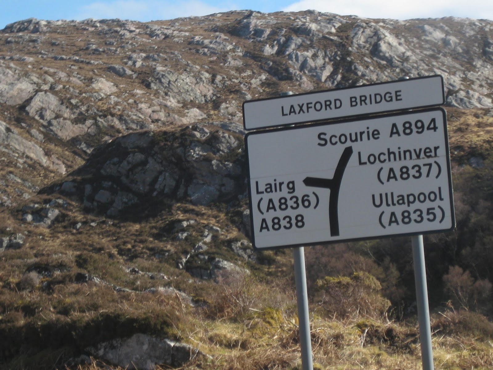
My road changes to the A894 for Scourie and from there it is on to Lochinver.

There are so many fresh water lochs I could not find the name of this one near Badnabay.


Loch a' Bhadaidh Daraich indicates that I am almost at Scourie.

Scourie is on the coast looking out towards the Isle of Lewis & Harris.

While we are running parallel to the coast the road ahead appears to be well inland.

These are beautiful driving roads despite being remote.


55 mph is a fair cruising speed as I enjoy the sweeping bends.

Just take in that view - magnificent.

This next beautiful sweep cuts Loch Dubhaird Mor in two.


Quick shots of both sides of the bridge.


I make a stop at the Loch Assynt Viewpoint and Picnic spot.
But we are actually looking at Loch Gleann Dubh.
Another of the many stunning views.


The twin peaks of Allt a' Bhathaich.


Passing through Kylestrome

Fishing Boats on Loch Gleann Dubh are good indicators of habitation.

Kylesku Bridge is ahead.


Across the curving Kylesku Bridge to Coalas Cumhann.

Passing through Unapool. Now for some fun driving.


The B869, which I am now on, runs for 16 miles from just south of Unapool.
It curves around a loop to the coast over the hills to Lochinver and then back along Loch Assynt to Inchnadamph.


Another Fish Farm is located here on Loch a' Chairn Bhain.

It curves around a loop to the coast over the hills to Lochinver and then back along Loch Assynt to Inchnadamph.


Another Fish Farm is located here on Loch a' Chairn Bhain.


A single track road, empty of traffic, which twists and turns as it rolls the car from left to right. It was a sensational drive.


Interesting that there are no Snow Poles on this remote road?


Scotland's Coastline here is very rugged with little habitation.


Another view of the open sea. Remote or what!

Pigs Piglets Lambs and Sheep forecast to be on the road ahead.


Evidence of past travelers in this garden by the Alltan nan Lall burn.

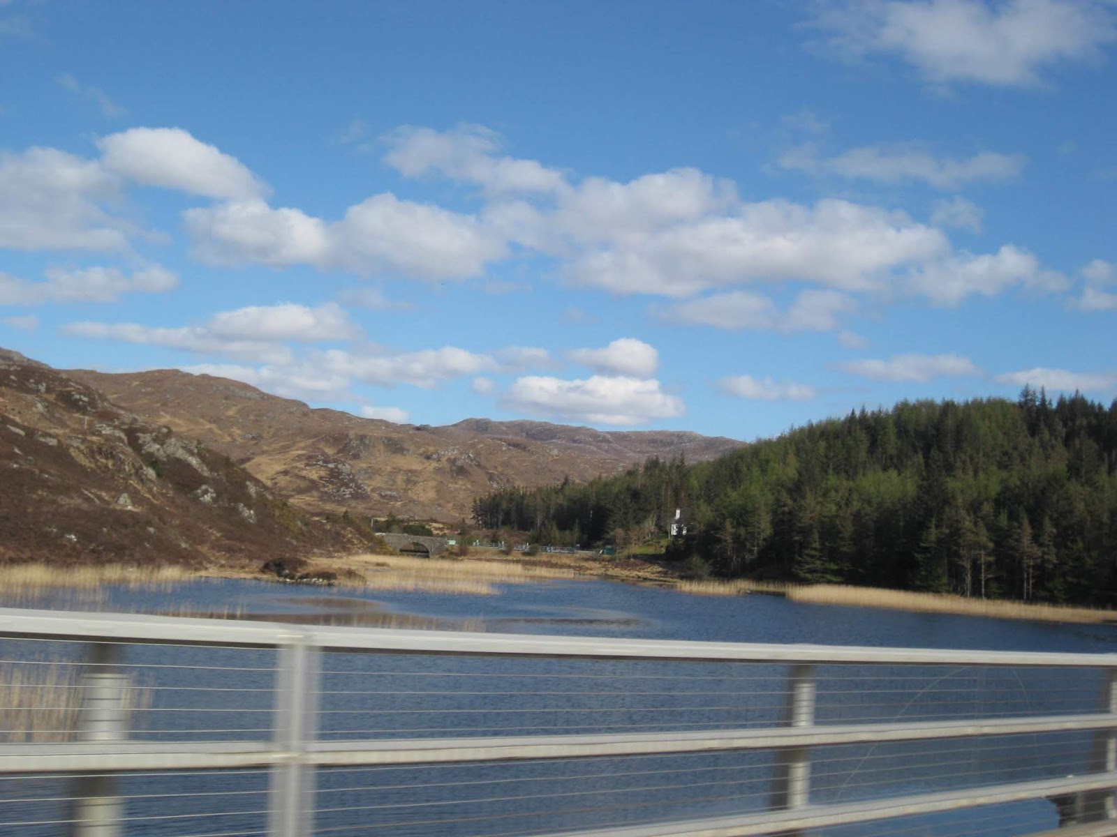
Some quick views of Loch Nedd before the road swings left again towards Drumbeg.


Somewhere between Glashnessie and Stoer I get my only view of some lovely Highland Cattle on this leg of my journey.


Could this be Lochan Sgeireach as I approach Stoer?


Approaching Clachtoll and Loch an Aigeil as this road turns back inland again.


Beautiful Sparkling Silver Water in the afternoon sunshine.


I am now back on the A837 where I have turned right to head for Lochinver as I am in need of fuel from a garage there.


When I arrived at Lochinver it was a much needed opportunity to get fuel for tomorrows long leg to Skye.
The cost is the highest so far on this trip at 154.9p per litre.
I now have to double back to pass Loch Assynt on my way to Inchnadamph.
The lack of photos along this stretch of road indicate how tired I have become and just want to get to the hotel.
The cost is the highest so far on this trip at 154.9p per litre.
I now have to double back to pass Loch Assynt on my way to Inchnadamph.
The lack of photos along this stretch of road indicate how tired I have become and just want to get to the hotel.
 |
However, having spotted the Ardvreck Castle Ruins on Loch Assynt I have to make another stop.   |

To give it some scale.
I only had to run the last 10 miles along A837 at Loch Assynt to my hotel at Inchnadamph (The Meadow of the Dear) at the head of the loch, alongside the Traligill Burn.


This could have been a lovely house?


This could have been a lovely house?
When I arrived at the hotel, mine host had a copy of the Mountain Rescue Weather Forecast for me to study.
It forecast that Snow was expected tonight so he kindly vacated his garage for me so that Mog could be warm and dry.
Ahhh. Even after a lovely warm meal, as the only resident there it would be another sleepless night wondering if I would be able to get to Skye tomorrow? I slept very well as it happened.
Fortunately, only heavy rain turned up in he morning.
More tomorrow.
Your not alone Frank! We're all behind you just not next to you!
ReplyDelete