Actual Miles Driven Today - 231
 |
The Mog at Trimstone Manor, packed and ready to leave. |
I did not check out the hotel facilities before I booked - Mind you, any Distractions from my Blogging task just would not do.
I only discovered these facilities following breakfast.
I only discovered these facilities following breakfast.

The Indoor Swimming Pool and Spa.
Being out of season the pool was covered so not available anyhow.

The Games Room
The Manager and his wife are very proud of their pair of Supras, such that he asked me 'is that your small car out there?'
It is easy to see which one is HIS!


Farewells said, I just need to get in an begin the day's journey.
Sadly it is raining once again so the hood will be staying up until it stops.

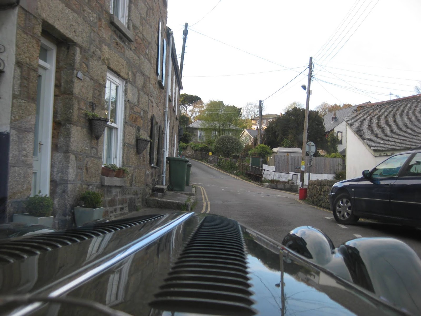
It is but a short drive to my next coastal visit down a long hill.

Already I can see the town ahead.

Heading into Woolacombe, a very popular Holiday destination.

Believe it or not, this derelict building was once a lovely hotel where my family stayed many years before.
Our Holiday Hotel has not stood the test of time, it seems.

Finding my way into the car park, this area is devoid of people at this time of the year

Woolacombe, and that fabulous Surfing Beach was just down the road.
We holidayed there several times many years ago when the children were young
 |
One wet Morgan at Woolacombe Beach  In the background is my road in and out of Woolacombe  A house typical of the style in the area.  The route took me through the pretty village of Croyde.  More narrow roads to follow but no traffic making for a pleasant drive.   |

Croyde, followed by a fabulous view over the bay of Saunton Sands and Dunes.


The Bay in all of its underutilised glory

The Dunes look like something from an overgrown battlefield

Saunton Sands Bay

However, judging by this shot, all is not sweetness and light here at Saunton Sands.

The Dunes in the distance

One of the many White Vans that would blight my photos on this trip.

Going into Barnstaple here we are crossing the River Taw Bridge.


Barnstaple ahead on the hill.


One of my rare Mirror shots.


Soon through Barnstaple we are following the Torridge River towards Westward Ho.


This is a very high bridge.

Not a good sign to see anywhere.

Leaving the bridge I am catching another scene blocker ahead.

The Circus is in town.

The view to the north across the River Taw.

Through Appledore this is the view to the south.


Entering Westward Ho.

Advertising The Hoops Inn.
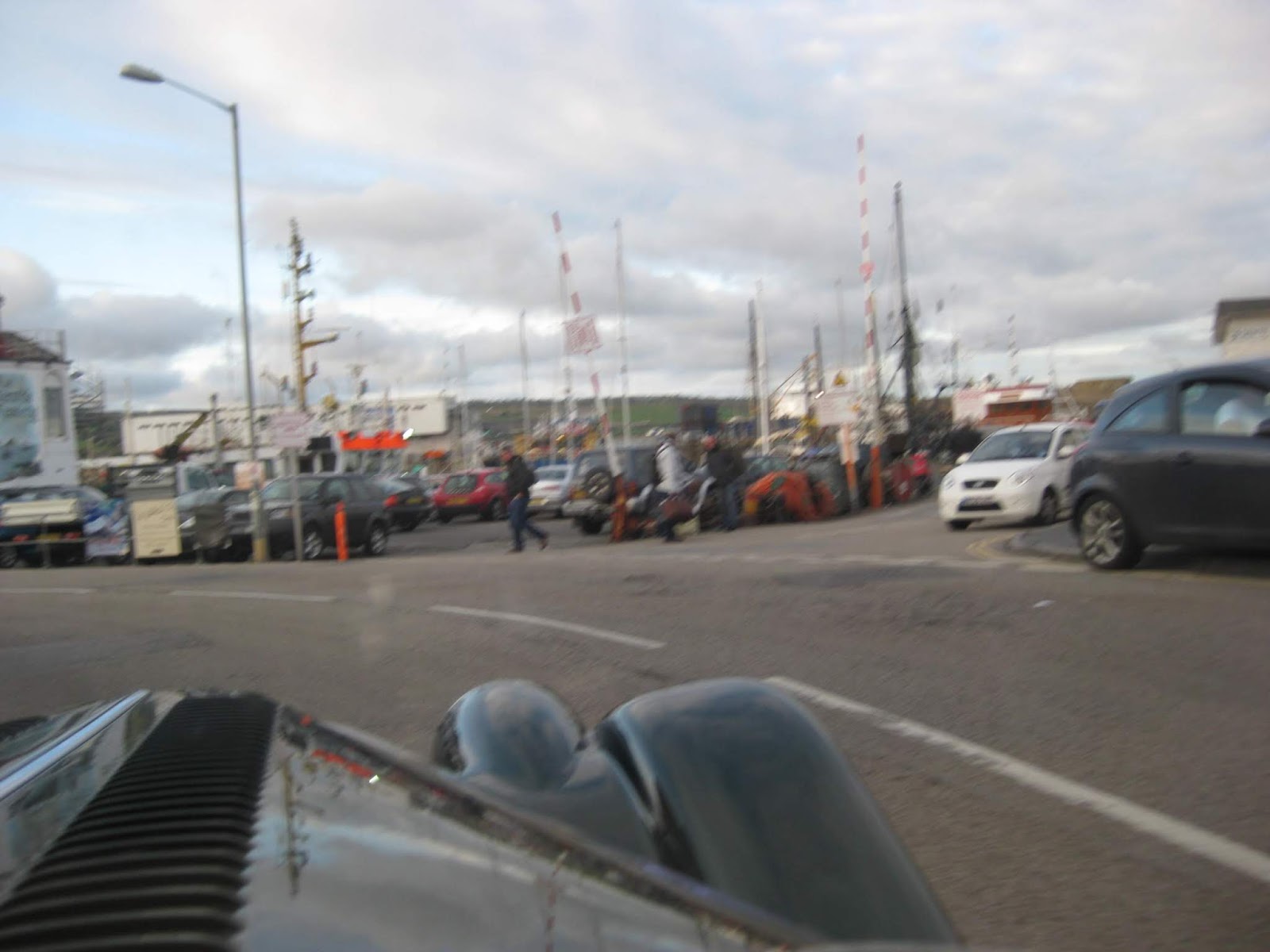
Next stop for a coffee was at Clovelly having travelled through Barnstaple, Appledore and the edge of Bideford.
I blagged this parking spot for the photo. The visitor center and cafe in the background is a new addition since I was last there.
You have to go through there now to access the path to the village and Harbour.
 |
At Clovelly  One abandoned Morgan for the photo before finding a suitable parking place.  Clovelly is somewhere down at the bottom of this steep cliff side.   |
Pathway down to the Village through the Cafe & Gift Shop
Sadly my day was too short to allow me to take the walk down to the harbour.

Here is what I missed.
 |
The lack of scene through the window reflects on the misty weather down the cliff.   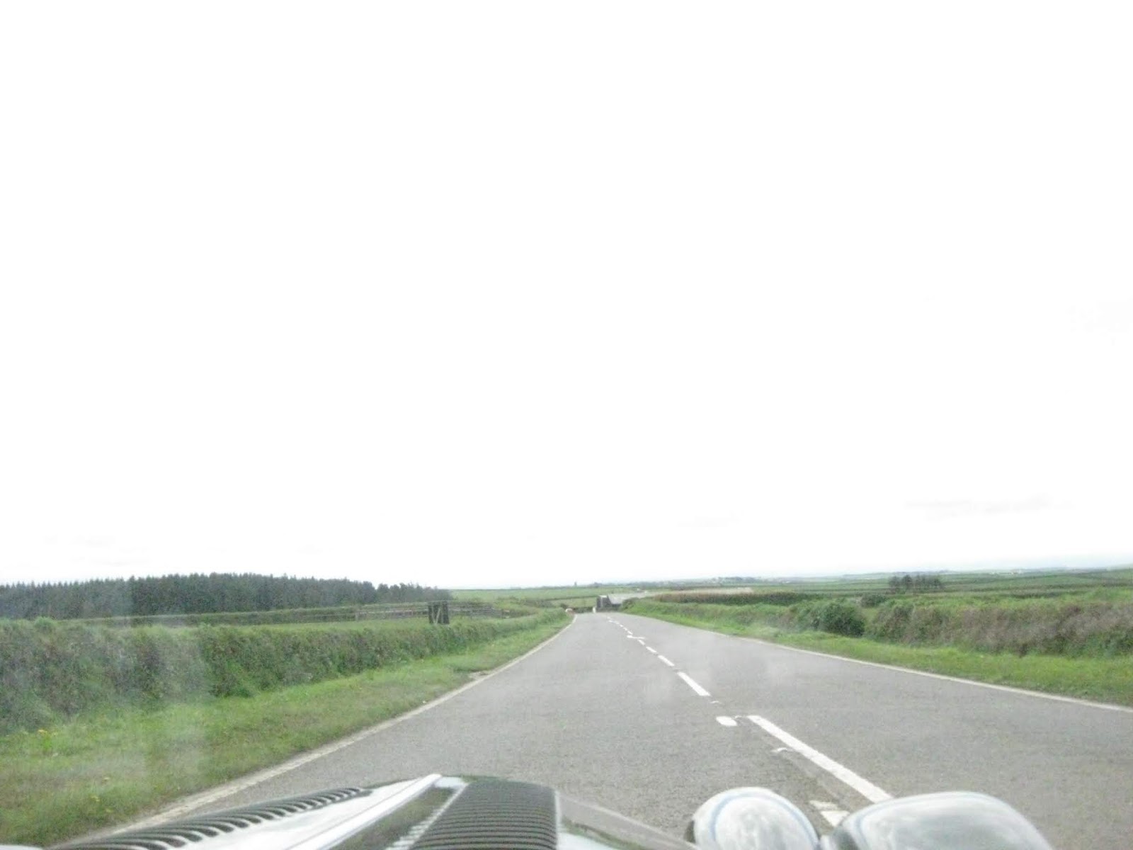 Heading for Bude.   Interesting - I did not know that it was called The Atlantic Highway.  Almost at Bude  Bude - I had not realised but something had changed on my camera settings making the next period of photos over exposed. One of the penalties of using my 'Lift the Camera, Snap and Drop' system.  With memories of past holidays here, I just need to do a circuit of the town.  Quite a small town  Into the Car Park which is typically empty out of the holiday season   I need to re cross over the river to head south again.  Another of our holiday haunts then was Bude where they seem to have created this lake from the once empty canal. |

The Canal at Bude


Now I am back on the coast road again heading towards Widemouth Bay.

The Atlantic does not offer much to see out there.


Driving right along the edge of the land is great.

It is really nice when you can see the road I am travelling on curving way into the distance ahead.

At this point I have only traveled about a third of the way to my destination in Penzance


The road seems endless as there is little to see and very few homes in this barren area.


It was a very pleasant coastal drive then a little way down the A39 before turning onto the B3263 to reach Boscastle (The town that experienced that disastrous & fatal flood some years ago).

With the long valley run into the village from the north it is easy to see where the Rainwater Torrent was funneled down the hill.
 |
Going down the Hill into Boscastle I have now reach the base.  Very soon I am climbing out of the town again. 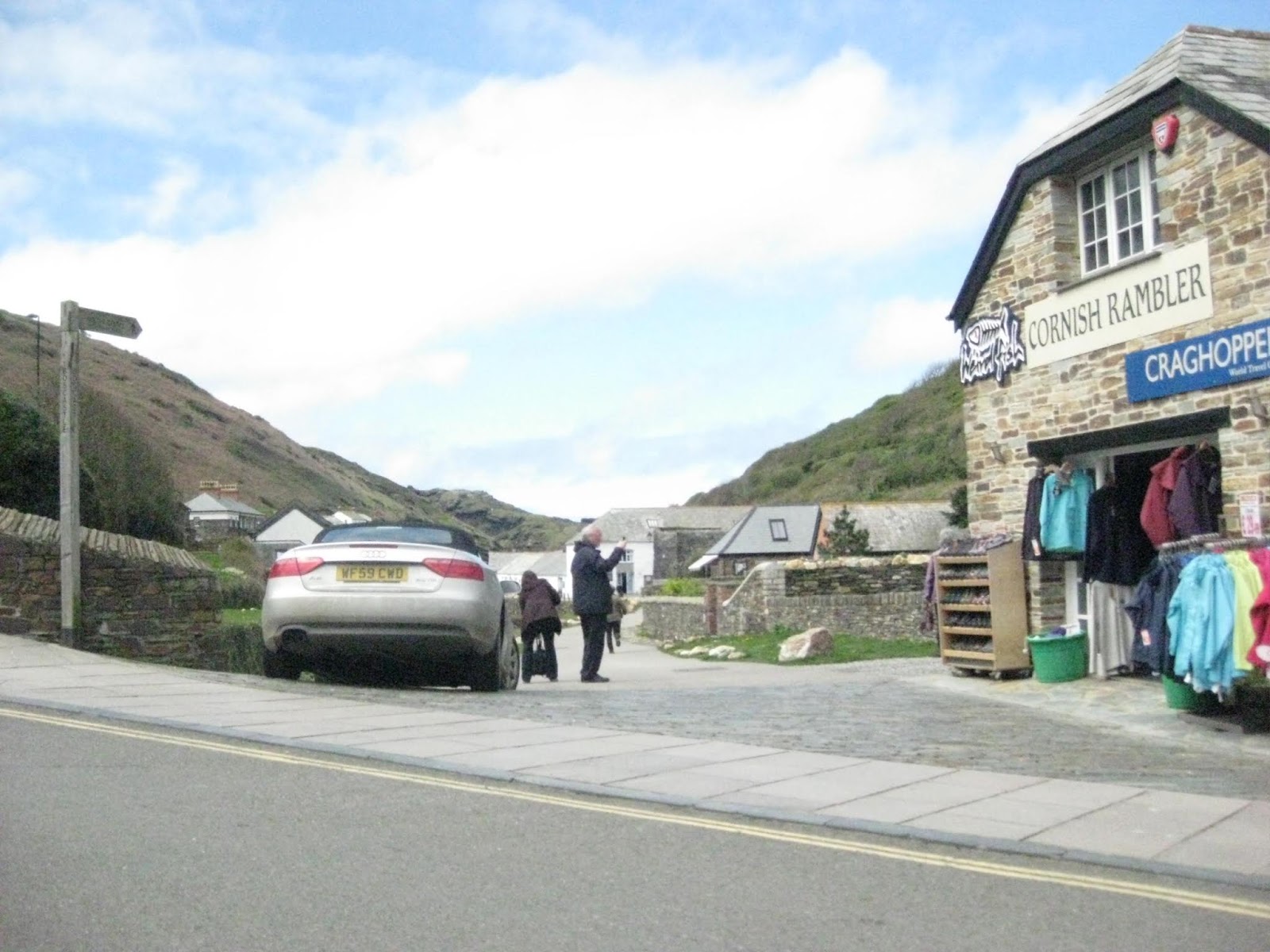 It is difficult now to imagine massive tumbling floods carrying everything in its path, including vehicles, through this gap and out to sea. |

Many of these buildings had to be re built.


Through Trevalga and on towards Tintagel.

Going further South the coastal town of the 'King Arthur Legend' is Tintagel.
I found out once before that the best view of the mystical 'Camelot Castle' is from the car park of this hotel also called 'Camelot'.
I found out once before that the best view of the mystical 'Camelot Castle' is from the car park of this hotel also called 'Camelot'.
 |
Hotel Camelot ?  The view northwards again |
 |
There on the far hillside is The Castle. The ruin appearing tiny from here, across the inlet from the hotel car park.  This Number Plate reminded me of a visit I once made to Ted Baker's Head Office. All around were notices asking ' What Would Ted Do? '  The road swings inland from here to the town of Delabole which is famous for it Slate  Slate can be seen among the scrub land from the road as I pass  I think that I tried unsuccessfully to take a photo of this Green Jaguar which is the same colour and model as one I have myself and almost identical to the Morgan colour.  My coast road is that little lane on the right.  One of the Wind Farms spoiling the views  Typical Cornish Narrow Roads with High Hedges so the side views are obscured.  When the lanes narrowed, like this one, extreme caution is needed around every blind bend.  Impossible to see far ahead.   That is better.  That is Port Issac which can be seen over the next hill 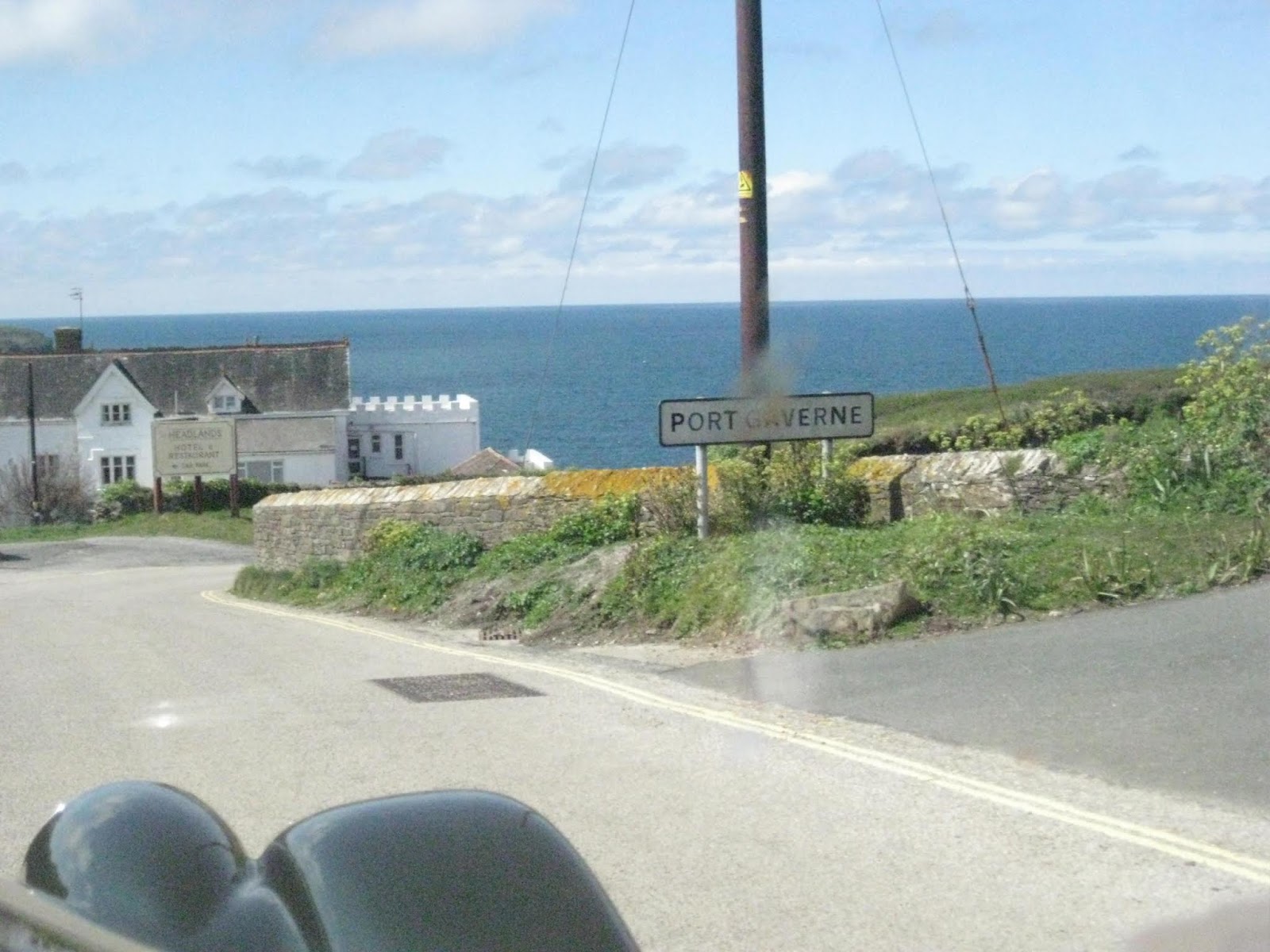 But first the road winds through Port Gaverne, the small bay just before reaching Port Issac |
Our recent holiday resort in Cornwall is Polzeath.
Just before arriving at the Beach Car Park there I tried to get into the Harbourside of Port Isaac (Port Wem of the television series of 'Doc Martin' fame).
Vehicles are discouraged from entering the lower village but not deterred, I was eventually stymied by a removal van and had to do a 3 point turn in the narrowest of roads to get back out, at which point I gave up that idea.
 |
Towards Port Issac   Just about to take a comfort break .  I find that I am unable to delete these duplicate photos without google deleting lots more at the same time so I have to leave them in   
The Porteath Bee Centre for some great Honey
 They provide some stunning Sunday Roast Lunches here   Polzeath ahead.   Passing 'The Point', one of the Holiday Cottages we have stayed in for holidays  Great sea views form the upstairs lounge.  The road twists and turns down the hill. 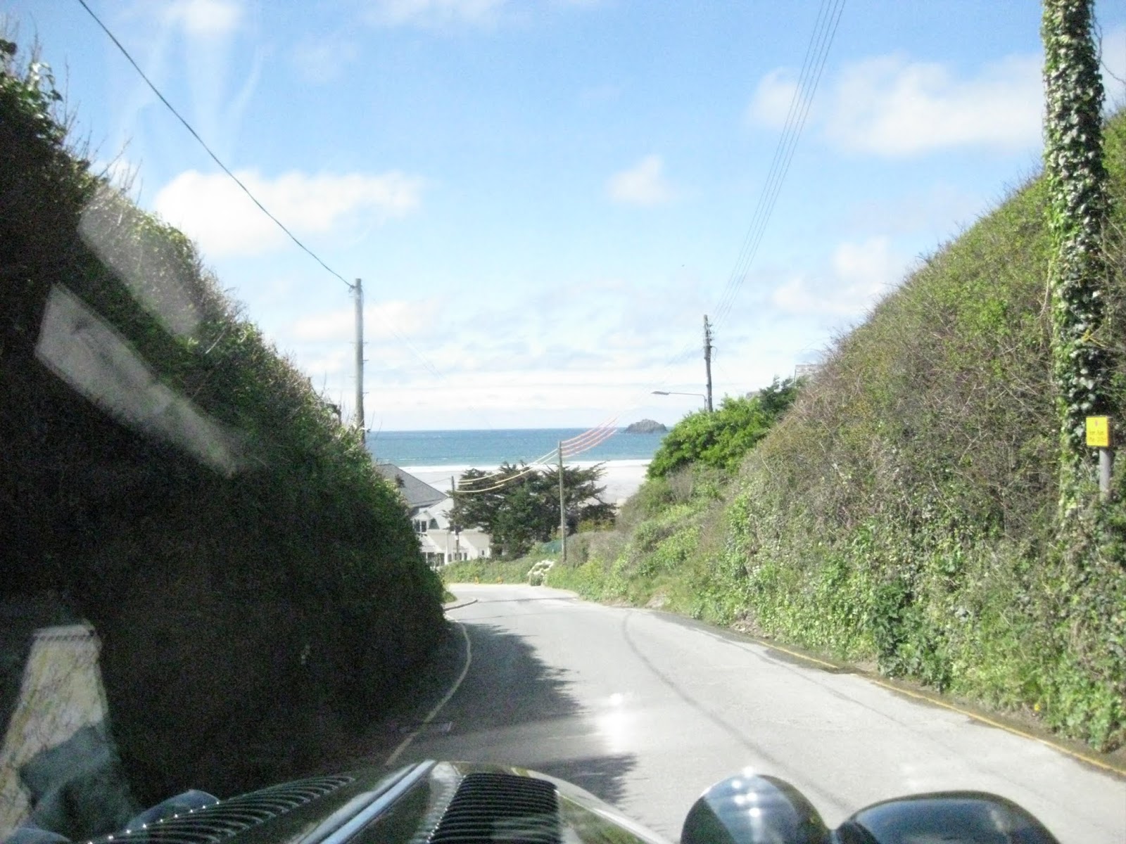 |
 |
Polzeath Shops on the hill down to the bay  One of the Surf Kit Hire Shops.  |
 |
The Surfing Beach & Car Park from my Bonnet. |
I tried to phone my daughter to make her envious. Sods Law prevails again. No Vodafone Signal for me.


Suddenly the camera sorts out its exposure, so I am back to normal service again.


No. I haven't turned back north again. I am now heading along the top edge of the River Camel Estuary towards the small village of 'Rock'

The view across the Camel estuary.


Suddenly the camera sorts out its exposure, so I am back to normal service again.


No. I haven't turned back north again. I am now heading along the top edge of the River Camel Estuary towards the small village of 'Rock'

The view across the Camel estuary.


So on around the lanes to that other famous beach town of the young, trendy and wealthy - Rock is an expensive place to buy a holiday home, if you can find one for sale.
I had to turn around at Rock as there is no through road here.

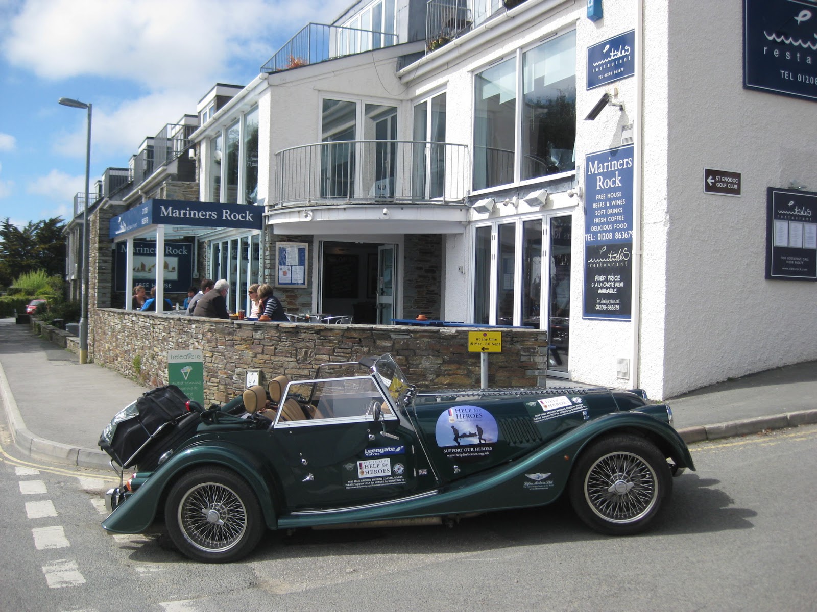
I was turning outside of 'The Mariners' Pub when some alfresco diners took interest in the car.
Never known to miss an opportunity, I switched off, got out and told the story with 100% success, gaining more welcome donations.
 |
The view to Padstow from Rock. There is a very useful open boat passenger ferry from the car park for those who wish a quick trip across the river. |

The sky looks heavy ahead but it did not rain on my parade.

On my way to Padstow the long way around as I cross the River Camel

Another of my overhead shots as I cross the River Bridge to Wadebridge.

Skirting around the edge of Wadebridge

Entering Padstow

A quick skip around the river to Padstow from Wadebridge reminds me of the wonderful 5 mile cycle rides we had made along the same route using the old Riverside Railway Track cycle path .

Down the slope to the riverside and what I assume would have been the old Railway Padstow Terminus.

When Padstow had its Railway
No visit to Padstow is complete without a visit to one of Rick Stein's Fish Restaurants.

When Padstow had its Railway
No visit to Padstow is complete without a visit to one of Rick Stein's Fish Restaurants.
 |
Here we are parked on the Harbour Side at the more basic Rick Stein Fish & Chip Restaurant, which is closed today. Normally there is a long queue outside during the holiday season.  The Commercial Harbour used mainly by the local Fishing Boats  |
 |
The Rick Stein Posh Main Restaurant just a little further along the road.  Approaching Old Padstow Harbour  It is always busy around here. On 1st May the town is mobbed for the famous 'Hobby Horse' May Day celebrations. |
 |
The Inner Harbour Padstow   Even in April it is warm enough to sit outside and enjoy people watching over a coffee. A Little wave for me as I approach.  Now the short climb back out of town.    A very mucky road here. Looks agricultural to me. Muck Spreading somewhere near?   More blind bends and winding lanes with little to see.  Approaching St Mary's  A very inviting place, but no time to make stop.  Portcothan Bay ahead.       The National Trust Cafe where I made my Lunch stop today.   |
On the way down to Newquay, I took a diversion to the back of the Airport to find RAF St. Mawgan.
This is the base where the Nimrod Spy Planes used to be located.

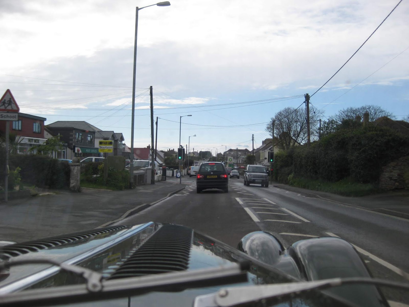
Heading towards Newquay again now

The only view I could get of Watergate Bay without stopping somewhere but I have far too far still to travel for that luxury.

Driving though a very busy Newquay was a revelation as I found the changes made prevented me from getting close to the seafront to take any photos from the car.

Two Quick Photos from the same spot
 |
These were all that I could get of the famous Surfing Beaches at Newquay while on the move. |

A little shower of rain trying to spoil my day, and failing.

Approaching Traffic. that is a first for me for quite a while.

A Few Welcome Signs as I approach Perranporth

The official town boundary marker.

Another welcome sign. A stone one this time.
The road through Perranporth and St Agnes and Portreath is away from the coast so did not offer that much of interest.
 |
The 'Wheal Coats' Mine, Engine House, in the distance  The dreaded Bus. I foresee a slow journey until I can pass it  Around the houses and up the hill with the view of the back of the Bus ahead.  Waiting at a Bus Stop. 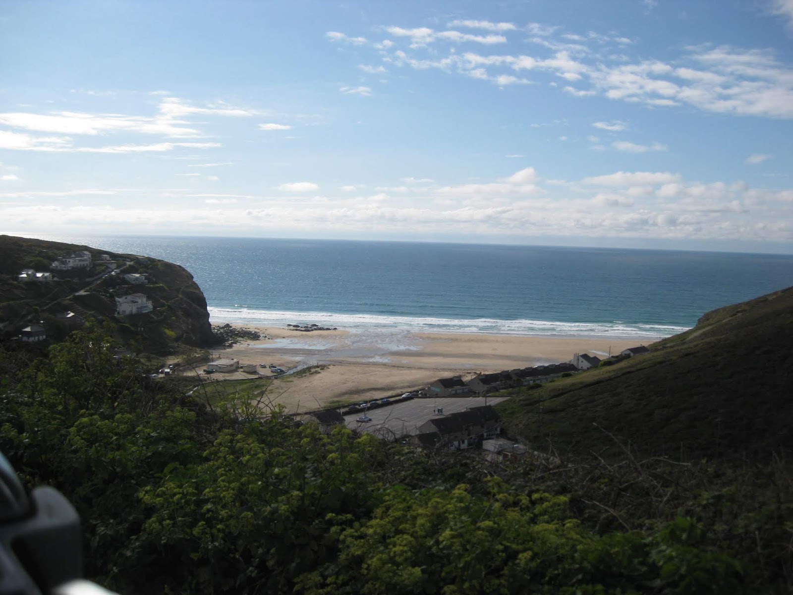 Looking down on the beach at Porthtowan.   An in and out visit to the beach Car Park.  Another Overhead Shot as I return up the hill. .  A second overhead view of the bay.  These next two shots could confuse. I am still driving south slightly inland looking across to towards St. Ives Head.   Heading into Hayle before sweeping westward towards St Ives.   Following the coast south of Hayle    Down yet another hill on the approach to St. Ives.  Through the narrow One Way Streets  I must turn left here to get down to the bay.  My first view of St Ives and the Harbour.  Skirting through the town. |

St Ives is a place that needs more time to explore both in the town and around the nearby coast.
Into St Ives
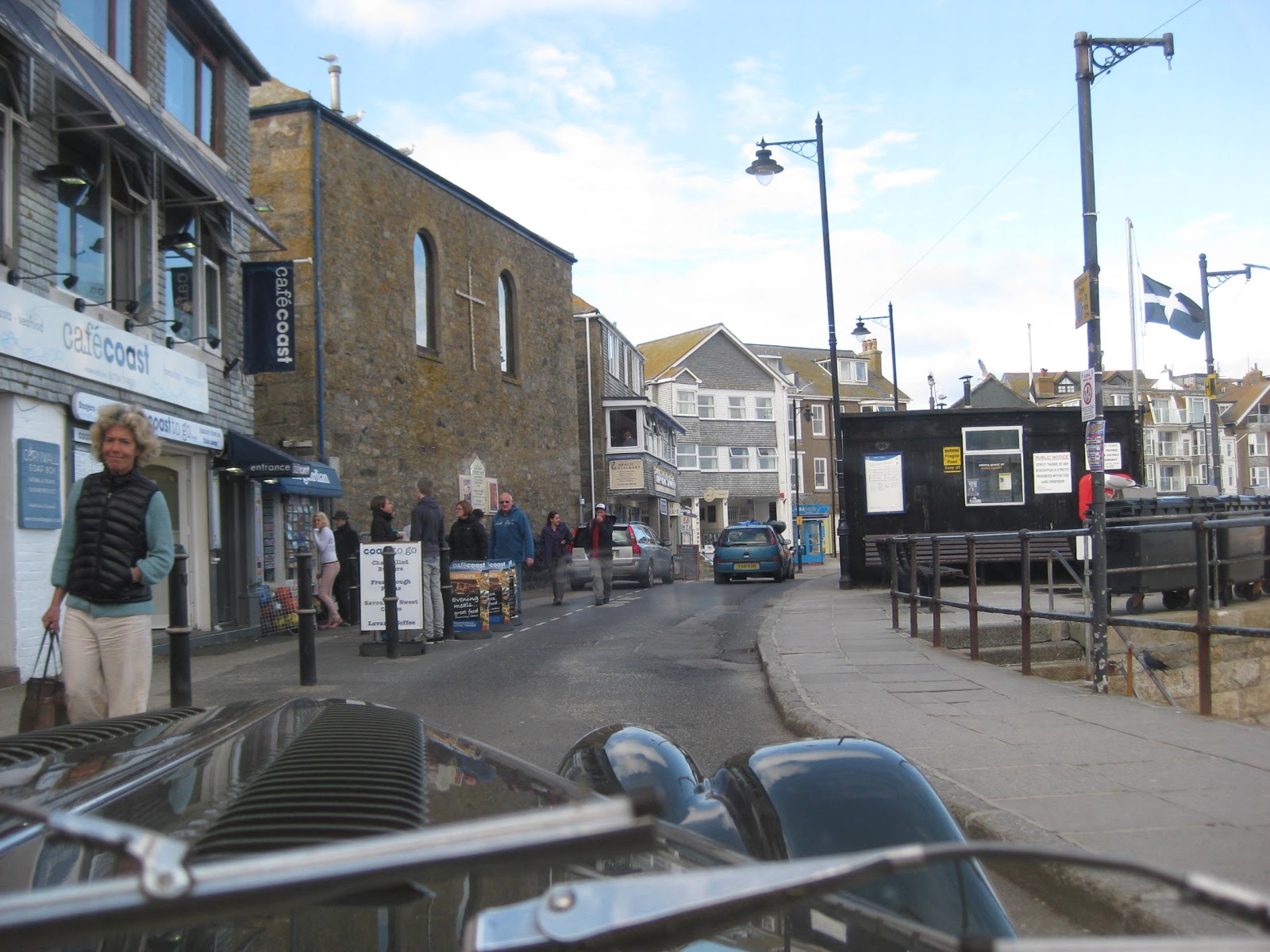
Trying to find the Harbour. Is that little smile for me?

I got there in the end.

A popular bathing beach during the summer months.

On the way out of town I pass this well laden recumbent cyclist.

Heavy Skies ahead.

More narrow single track lanes to traverse.

I must be near to Gurnard's Head?

The first view of the Rocky Terrain of Lands End.


One minute the sky is light and blue.

The next it is dark and depressing - and a little shower evidence on the road.

At Pendeen I passed by the Geevor Tin Mine on my way to Lands End.


Entering Botallack.


And, Into St Just on the B3306

The St. Just WW2 Memorial Clock Tower


Lands End Airport is on my right.

The Airport Buildings

St. Sennan Parish Church on the A30 at Sennan.
On though Sennan to finally arrive at Lands End - my JOG-LE completed on one of the long ways around.
 |
At the Arrival Point |
 |
At the Back of the Hotel where the famous Sign Post would normally be.  It was past Closing Time. |
 |
Now I see the Point.  I imagine that this is the most southerly tip of Lands End  Rugged Terrain reflecting its winter storm batterings  |
 |
The Lands End Hotel is a bit smarter than the Tacky Graffiti Clad Hotel I saw at John O'Groats      Land End Life Boat lurking around the corner.  These Standing Stones must have some historical significance?  One last view to the north as I set off for Penzance and my overnight stop.  Could this be the mysterious Beast of Lands End, or just someones dog out for a stroll.  The St. Pol de Leon Church in Paul.  Arriving at the town of Mousehole where i fins another steep hill and narrow lane.  Twisting and winding its way down towards the sea.  Ah! The sea and a sharp turn to the right.  |
One more harbour visit as I arrive a Mousehole Harbour.

I will not be parking here today.

The full extent of the small harbour at Mousehole


I will park here for a moment even though it is forbidden. I have to have a Mog Shot.

And another for good measure.

Then it is onto Newlyn and my overnight stop at Penzance


Not far to go now. Penzance is there in front of me stretching on into Newlyn.


Back at Sea Level and approaching the Harbour.

Then it is onto Newlyn and my overnight stop at Penzance


Not far to go now. Penzance is there in front of me stretching on into Newlyn.


Back at Sea Level and approaching the Harbour.
Newlyn & Penzance merge into one, as I would find out as I would sail on through Penzance and on into Newlyn and then have to turn back.

Approaching the swing bridge between the outer & inner harbours.

The Harbour.

Penzance Harbour means that I am almost there.

As I approach the hotel I can see St Michael's Mount across the bay.

Heading West once more.
I did overshoot the location of my hotel with no satnav to help me find it.

The Green Goddess is unpacked of my luggage and put to bed for the night.
I found my beautifully furnished Georgian Hotel called The Warwick House located right on the Front overlooking the sea..

My Hotel is the light pink building ahead.
As I unloaded the car I met John from Cambridge who was also on a Solo Mission in that he had just returned from the Scilly Isles where he had been painting landscapes for a week.
That evening we went for an excellent meal at the very popular Turks Head Public House nearby.

More Georgian buildings to my right.

A Little Gem of beautiful Regency Buildings from a bygone era.

My final photo today is the view from the Hotel Steps.
No comments:
Post a Comment